Over the last few weeks it has been raining in the Northern Cape, South Africa – which is great news for both the local farmers and rehabilitating the Hakskeenpan, the desert where we run the car.
The Pan is the lowest point in the area and all the small streams run onto it, flooding it at the northern end by a few feet. It’s actually 50cm higher at the southern end, 12 miles (19km) away.
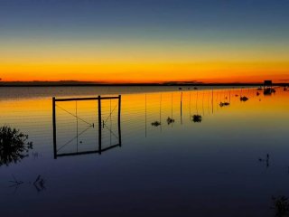 As the water evaporates off, the wind blows it around polishing the surface smooth and eradicating our HST wheel tracks. This is a vital part of the lifecycle of the desert as the shrimp that live deep below the baked mud come back to life which, in turn, brings in flocks of flamingos.
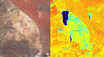
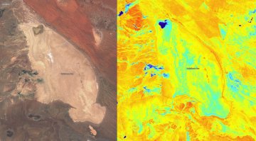
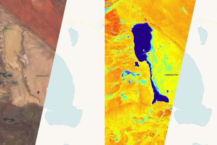
Each pair of images (below) shows ‘true’ colour and a false colour (using a different group of frequencies) to highlight water – light blue is a damp surface, dark blue is liquid water. The three dates show initial rainfall effects (25 February), peak flooding (4 March) and then the latest drying surface (16 March).
Unfortunately we didn’t get a clear shot of the whole pan at max flooding in early March.
The ‘stripe’ across the top 2/3 of the Pan, in the middle images (4 March), is the ground track of a single pass (polar orbit + earth’s rotation). The next adjacent pass was not available (we don’t know why), hence we only got a partial shot of the pan.
Imagery is owned by the European Space Agency. Credit: Copernicus Sentinel Data 2020